Weeknote #67
The one with ALL the maps. A weeknote which is really a month note and contains a huge amount of maps. This is a good one. If you like maps. Or moss.
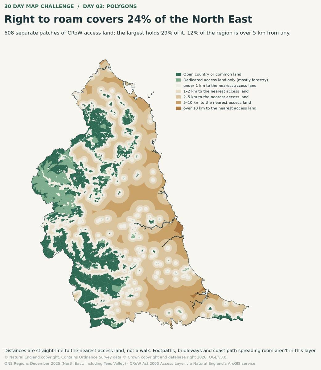
It's been just over a month since I last did a weeknote. I got a bit ill for a while, various life things, and my weeks were a bit all over the place and the rhythm was all a bit off. But mainly I just didn't feel like writing them. But that doesn't mean I wasn't doing things or reflecting in other ways. So this weeknote covers the last month or so.
What i did
- Completed my first assignment for my Masters in Computer Science and AI. It's been a number of years since academic study, so it took me a little while to get into the flow of things, but feel it went pretty well.
- Kicked off some initial scoping work with RSWT as part of a plan to work with them through FIELD STATION for the next few years on data leadership training and general data maturity.
- Missed out on Mozfest with Doug due to some life things. Sounded great. Next year hopefully.
- Had my last official boarding meeting as a trustee for Tandem a local charity. That's my last governance role ending after stopping being a school Governor previously. Over the years I've occasionally put in for other governance roles, even though I'm slightly reticent to, like I am for speaking or conferences because, well as a middle aged white dude, I dunno if we need more of them. On the occasion i have, I've not had a good experience.... for example I'm still waiting on a yes or no from two organisations 3 years later. I'm guessing it's a no? But honestly, if you advertise for people, just let them know eh.
- Had a couple of really good sessions with the CASORT team. They are a great bunch but also the place they are in is really interesting. They are creating really good technology for social purpose, in a really responsible way combining deep expertise and really good technology. They have been rightly lauded for the innovative side of things, Caddy being one of the first AI tools for social purpose to gain traction...but I don't think they get enough attention for the WAY they are doing it.
- Had a few interesting talks about potential bits and pieces of work
Maps and Maps and Maps
One of the reasons I think I stopped the weeknotes was because I was just interested in different things. I started 30DayMapsChallenge (although I am very behind on this). I've really enjoyed it and it gave me excuse to explore different datasets, different approaches to maps and really get back into some hands on data visualisation. I actually have only got up to day 8... which means I'm 16 days behind, but I do plan to finish the 30 days, just maybe not in 30 days!
I've put links to the things I did on each day below. Some days I had more than one idea and so I've included the ones that didn't make it also.
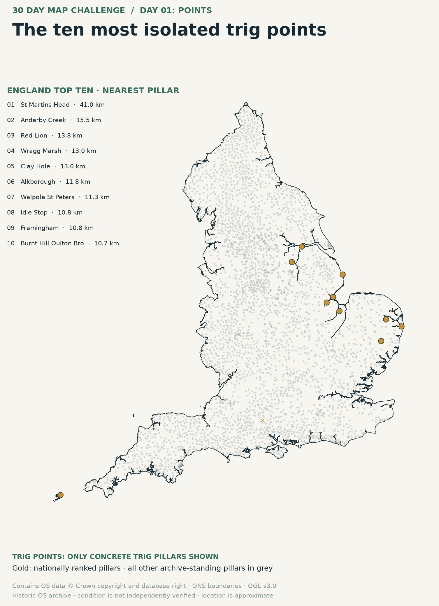
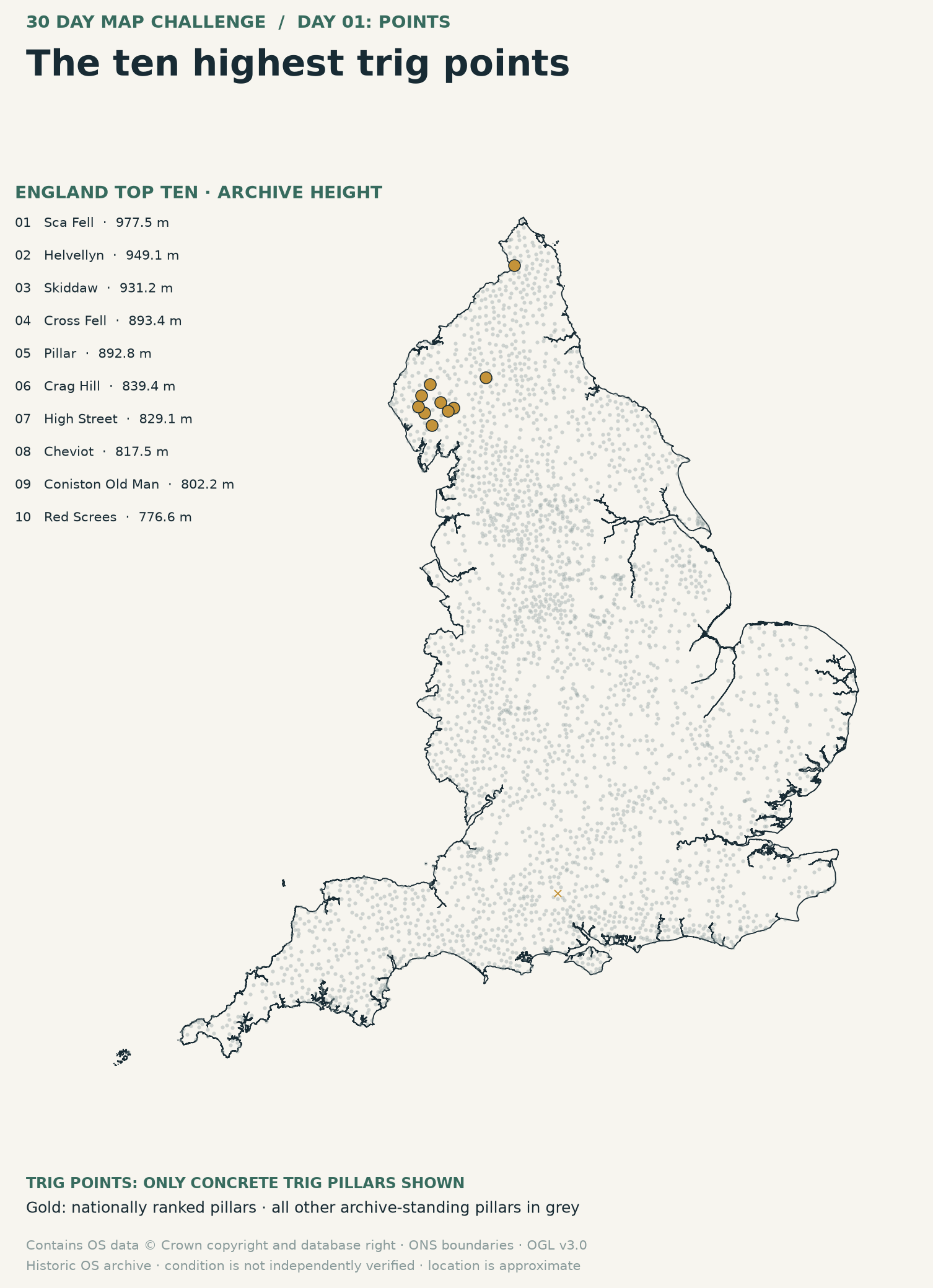
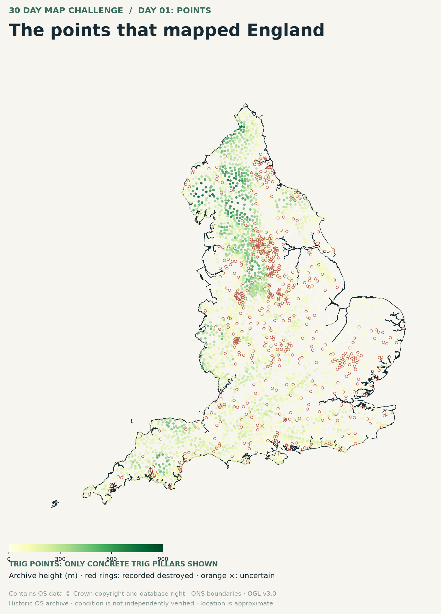
Day 1: Points
I produced a map of Trig Points across England, noting the highest and the ones furthest (as the crow flies) from another Trig Point.
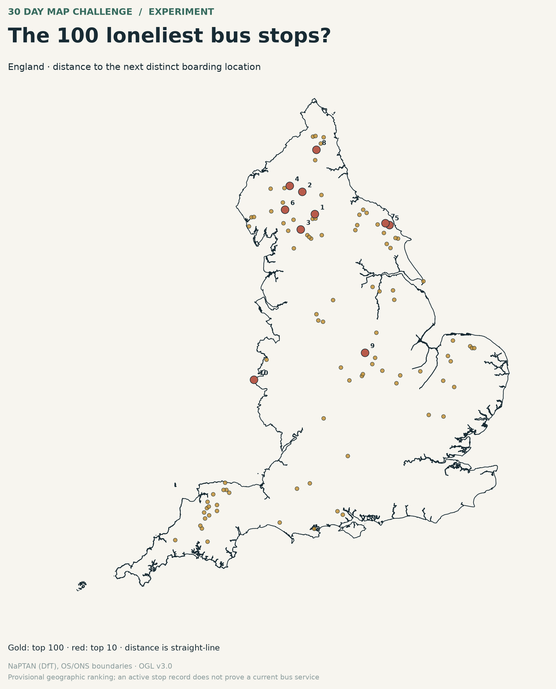
Day 1 alternative was "Loneliest Bus stops"
Day 2: Lines
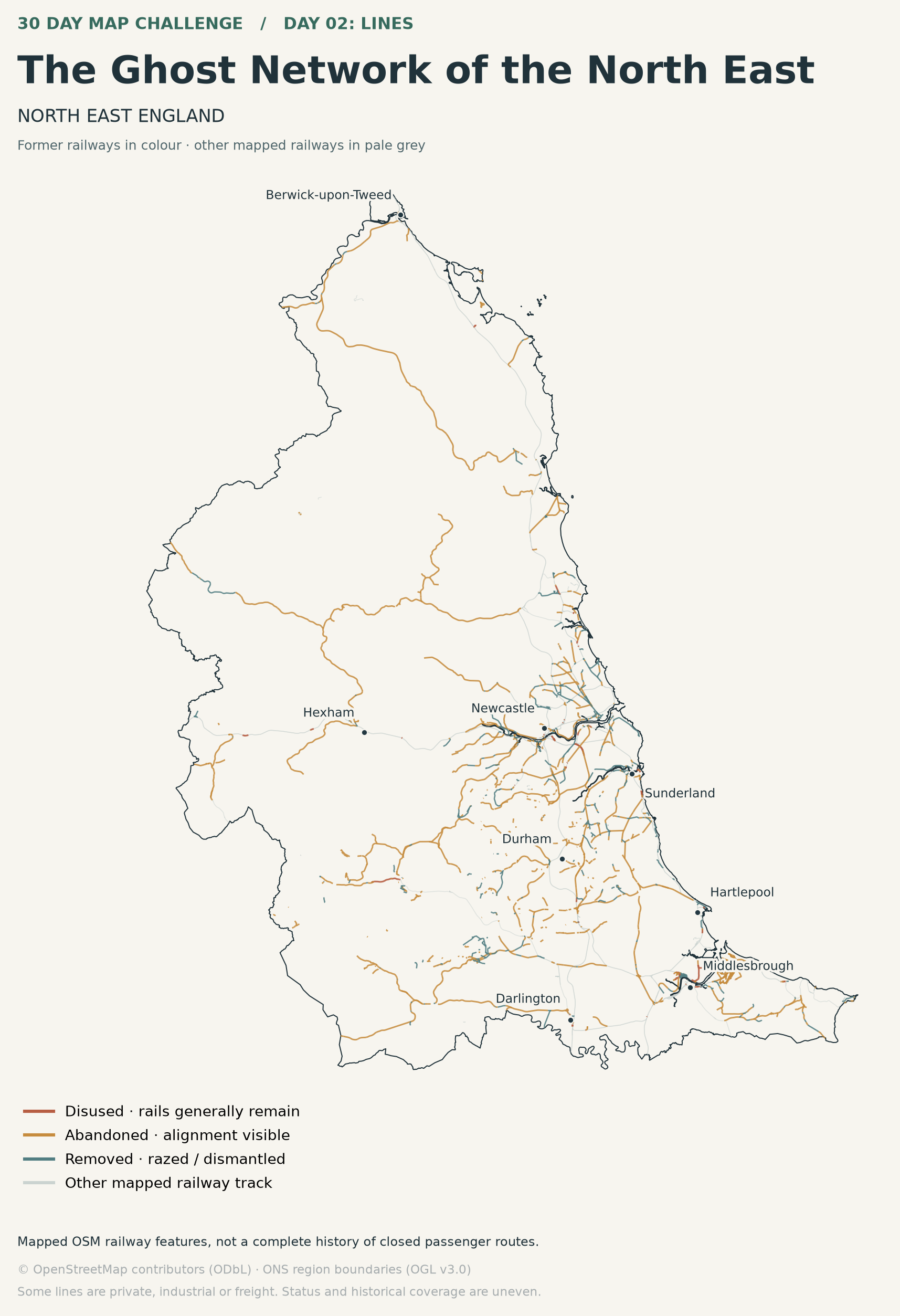
I explored dissused railways, especially in the North East (where there are many)
Day 3: Polygons
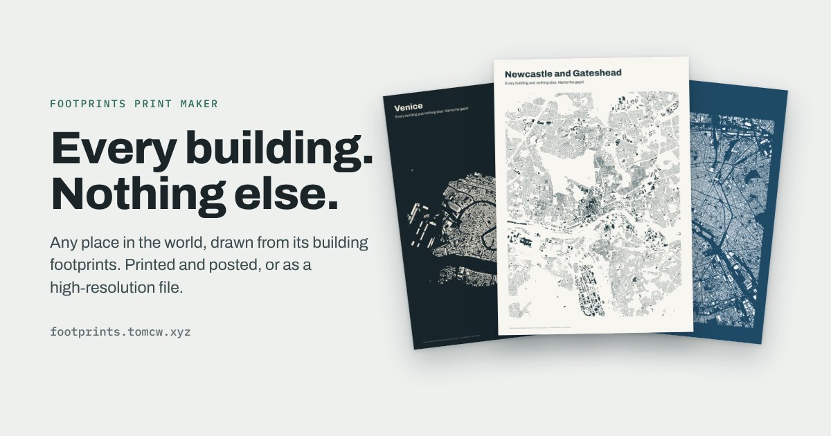
For day 3 I ended up looking at City Footprints using OSM data. It was pretty cool. And people said it was quite cool looking, and so I ended up building a little shop that allows people to pick pretty much anywhere in the world and get a city footprint map for either digital download, or an actual print sent to them. It was quite a nice little exploration for me of getting the data, then packaging that as a print to a print company, who then send it to the person. Sort of Open Data Drop Shipping. The original image was of Newcastle and Gateshead. But I ended up getting a print for myself of Copenhagen where I spent last Christmas.
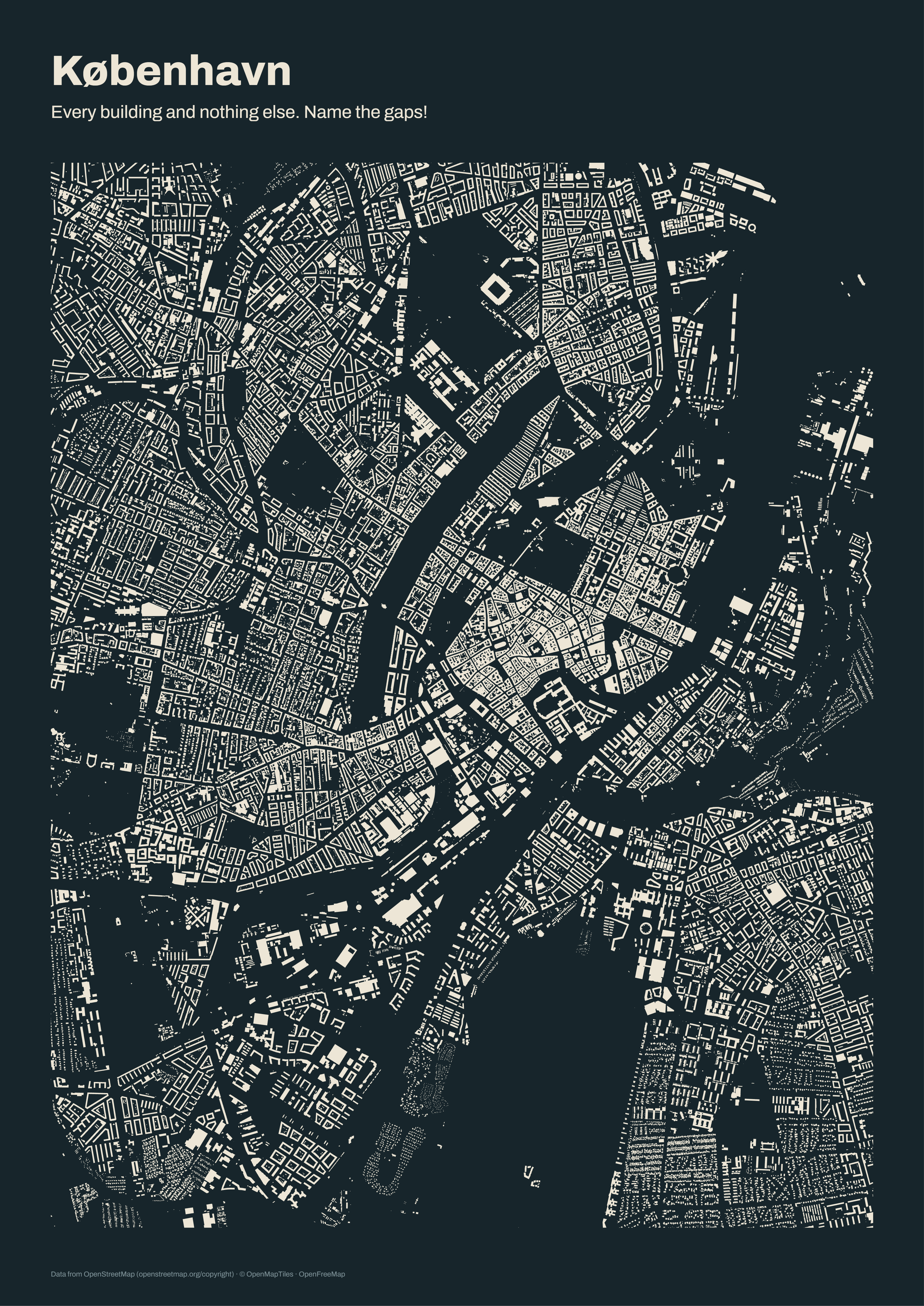
You too can get a print (and support my work??) here https://footprints.tomcw.xyz/
 Tom Campbell Watson
Day 4: Clusters
MOSS! Yes i built an interactive map about MOSS. I like moss, but I'm not like a moss expert. But using data from NBN Atlas I was able to learn quite a bit. So yeah, if you want to learn a bit and see where the most common clusters of moss are then here you go!
Day 4 alternative. I half finished a map about Starlings. Might come back to that at some point.
Day 5: Sight
Oh this one was cool. I ended up exploring what I could see from Dale Head in the Lake District and built a tool for actually exploring this, taking in what fells you could see and a 3d map on the terrain. The map is here
Like with Day 3, I thought 'oh there's something cool here' and so I used what I'd learned with footprints and built a little shop! This one was trickier as hillsides and mountains are often about perspectives. But I ended up with some cool (even if I do say so myself) images - below is one of the Tea Round route
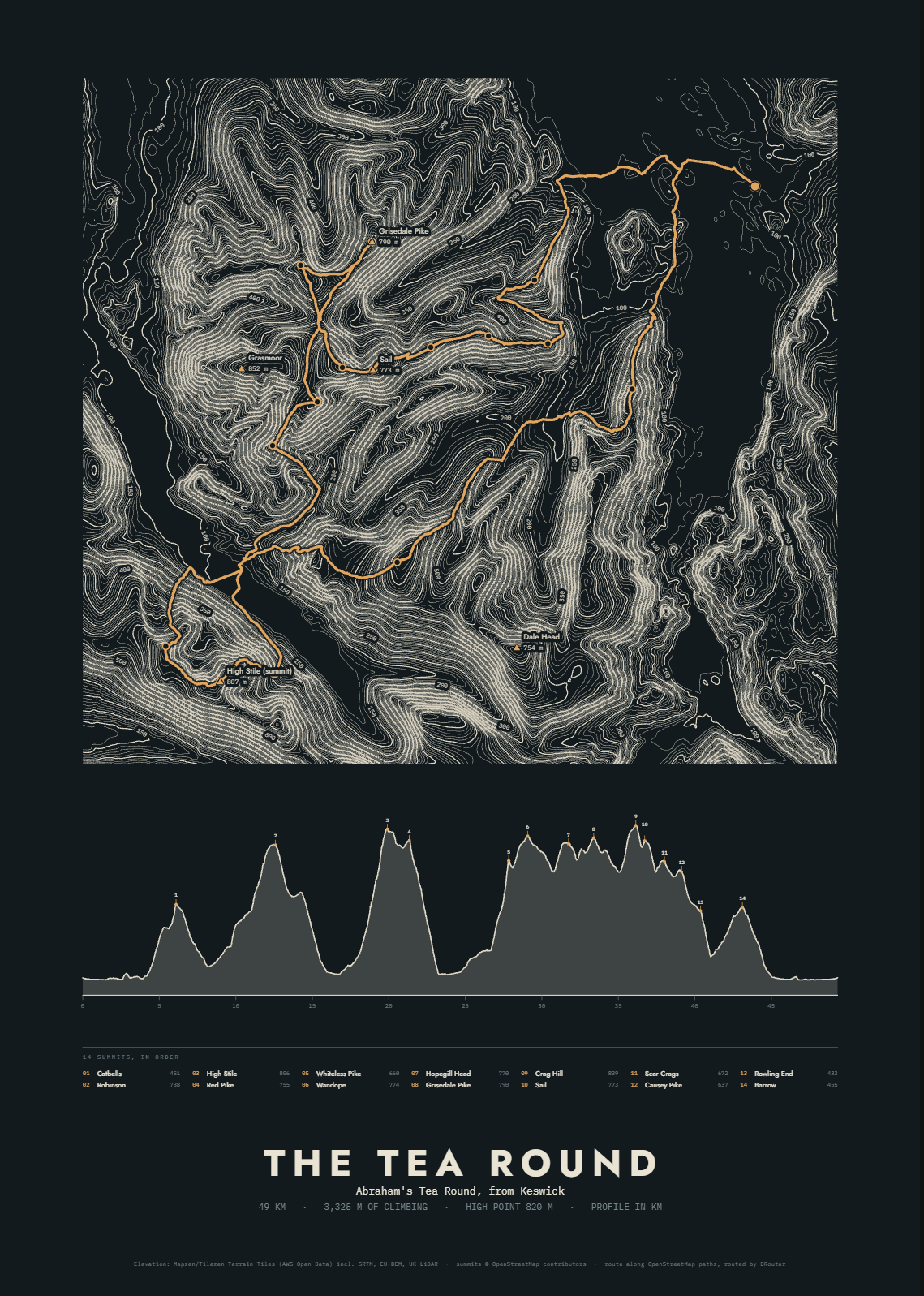
Again - buy some maps yeah? https://peaks.tomcw.xyz/
 Peaks
Day 5 alternative - What's outside your window. Using data from GBIF i built a little tool to tell you what type of wildlife you might see out of your window in different seasons. Didn't release this one, but you dear reader can play with it here.
Day 6 Vintage
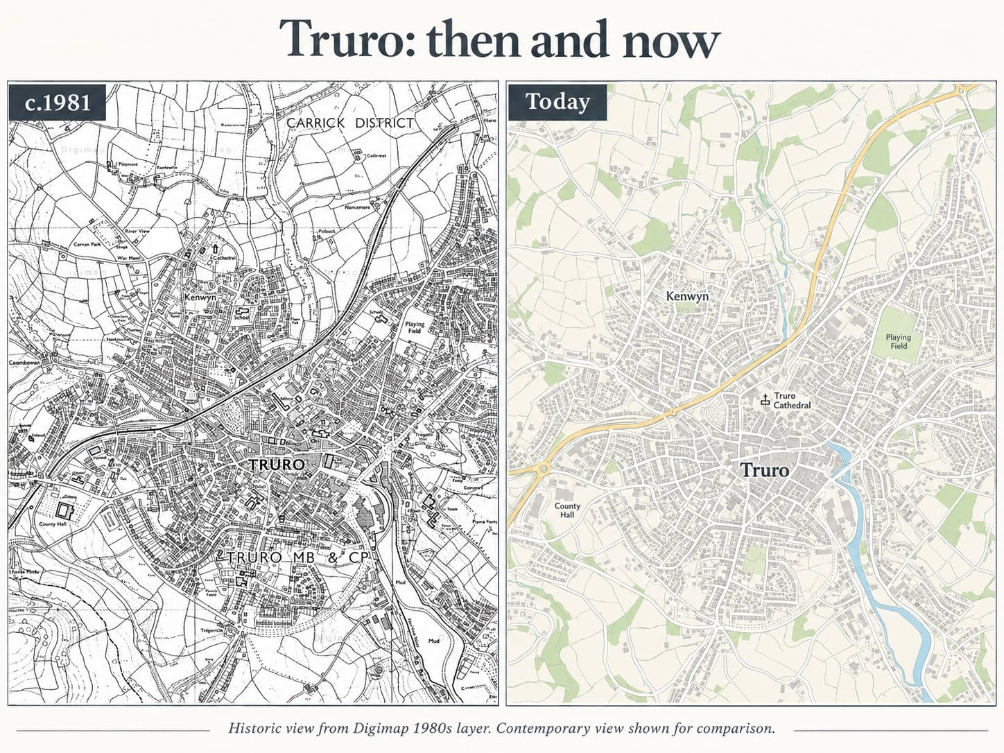
For this one I took a map of Truro, where I was born, from when I was born and compared it to now. Yes I just described myself as vintage. It was quite fun trying to track down data for the 1981 map, but handily due to me being a student again, I had access to some historic Digimap data.
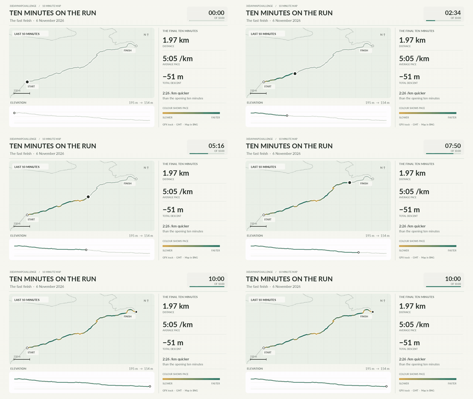
Day 7: 10 Minute map
I did a visualisation of 10 minutes of my run.
And that's where I got to. I've done a few different things for days 8, 9 and 10, but not finished them, and have an idea for day 16. I'll be catching up.
Building and other stuff
As part of the 30 Day maps, I thought about how I could use https://www.mapmypatch.co.uk/ for at least one of the things. And then I fell down a rabbit hole of updates. I will be doing a full relaunch in January, but I've taken it further than I thought I would and it is now pretty kick ass. Paper to digital maps, map surveys, collaborative maps, Natural Language maps. I'm pretty proud of it.
Mossy. I built another tool during this time, based around data visualisation, where you can
throw your mossy data at it and see what you lichen?
Yes I am working on the tagline. Access in the new year. Sign up here for early access.
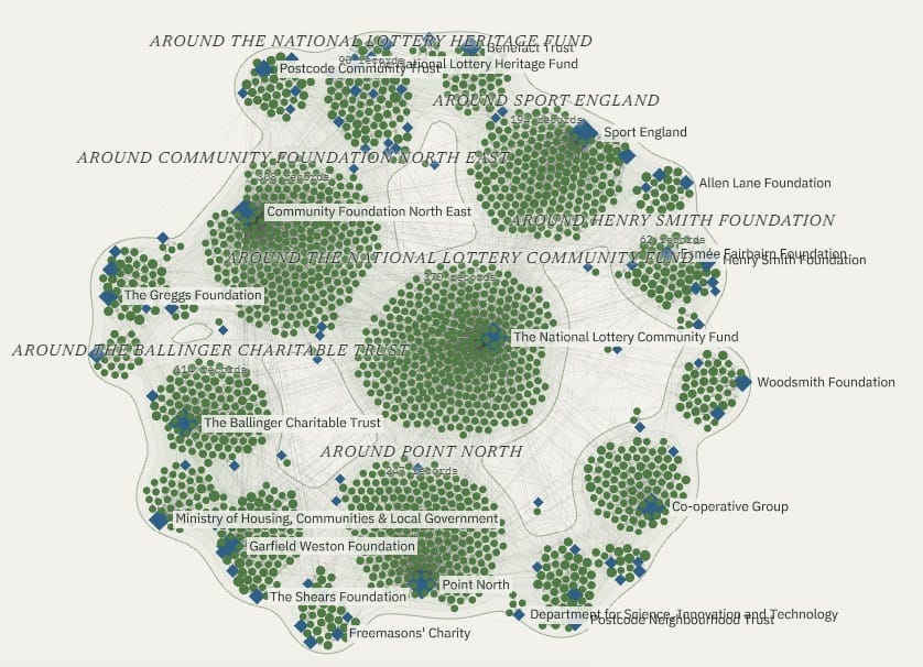
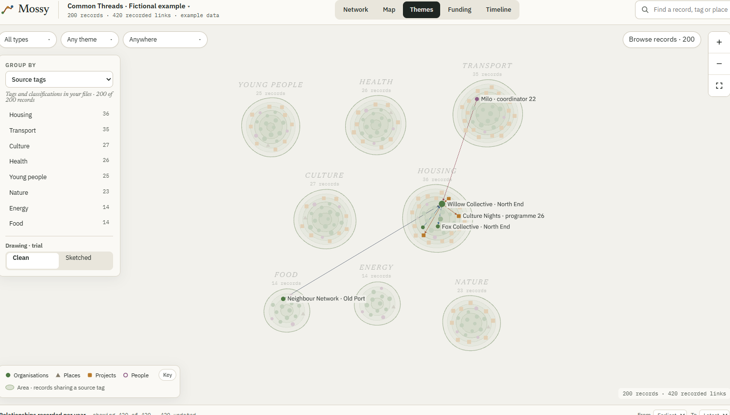
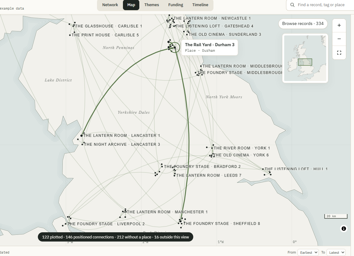
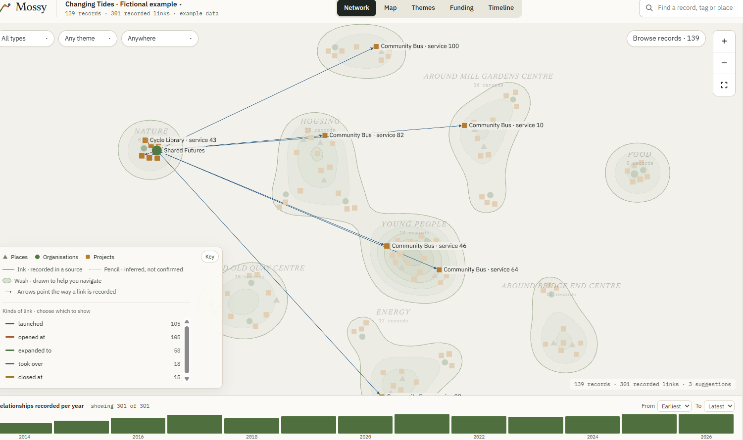
Images from Mossy
I closed off access to Open Recommendations. I decided to do a major update to Open Recommendations, pushing it from 200 reports, through to currently 650, each with deeper insights. Users will be able to save passages, and Open Recommendations will find related passages in all the other reports. Users will be able to sign up for digests, of new reports and insights around topics they are interested about. I think it will be the most fully featured research tool for social purpose outside of academia. Again you can sign up for access here.
So, as you can see, I've been productive, just not writing productive.
EDIT - ah yes, as pointed out by Doug, I did actually write something in this interim period, namely a TechFreedom newsletter! You should of course check it out here https://newsletter.techfreedom.eu/archive/dispatch-008
Interesting things
- Meet Rumble-2 - Our most accurate speech-to-text model, built for products where voice is the core.
- What Happens When AI Visits City Hall?
- Who answers for the AI agents?
- The Sharing Shift
- Does AI speed up development? Using the GDS Service Standard as a testing ground -
- AI CO₂ Impact Calculator | Berget AI
- Introduction - Dataville Docs - One API for external data in AI applications, from Claude or from code.
- Map | Trustworthy AI
- How data-geo works: WorldPop - Architecture, measured speeds and what we learned building a cloud-native mirror of WorldPop.
- We Must Kill Windows For A Just Future
- How to install an app on your Commodore 64 - Anil Dash
- Pluralistic: I told you so (13 Nov 2026) – Pluralistic: Daily links from Cory Doctorow
- Tasting the organisational treacle: expanding practices of experimentation in the public sector
- OSS Government Maturity Self-Assessment